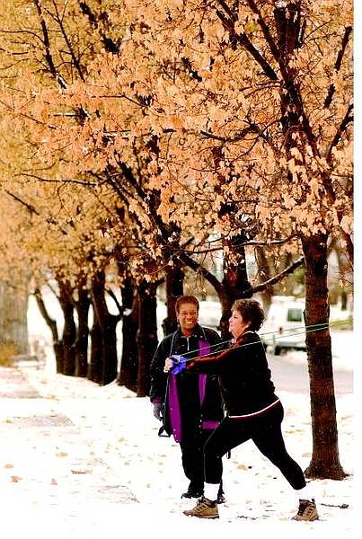
Rick Gunn/Nevada Appeal Carson resident P.J. Degross gets her workout despite the weather at the corner of Mountain St. and Caroline. It is part of an outdoor workout program entitled Bootcamp created by personal trainer Verna Lewis, looking on. The workouts include walking the town and using outdoor objects as training devices.
When Carson City resident Bob Still heard the rain start to fall Monday night, he looked out his window.
"Everything seemed fine," he said. "When I got up this morning, I checked outside - and a tree had fallen on my car."
The limb was knocked down by heavy, surprise snow, which fell early Tuesday morning.
More than 2 inches of snow fell in Carson City between midnight and 7 a.m. on Tuesday, according to National Weather Service hydrologist Gary Barbato.
A low-pressure system over eastern Washington and Oregon dropped southeast into Nevada, putting western Nevada right in the middle of an upslope air mass.
"That means the storm forced cool moist air up the mountains, causing it to condense bringing clouds and precipitation," he said. "We also had a little front move through, and that helped kick things off."
Tuesday's storm reversed the normal relationship between western Nevada and the Sierra.
"California was in the rain shadow in this kind of scenario, on the lee side," Barbato said.
Snow depths reached 10 inches west of Topaz Lake.
East of Gardnerville received 6 inches of snow, while Smith Valley received 7 inches.
Barbato said 2.5 inches fell in Carson City, melting down to .4 inches of water, indicating how wet it was.
Snow fell through the day on Tuesday, coming in from the east, but cleared out at night.
Today's high temperature is expected to reach 41 degrees, and the low Thursday morning will be 17 degrees. Temperatures will warm up a little through Friday. A new weather system is expected to arrive Saturday.
Barbato said the Sierra snowpack is still going strong, despite more than a week of sunny weather.
He said the snowpack was holding at 125 percent of average, thanks to cool temperatures in the mountains.
"If you ski around here, you know it is icy," he said. "The snow is compacting, but it is not melting off."

Comments
Use the comment form below to begin a discussion about this content.
Sign in to comment