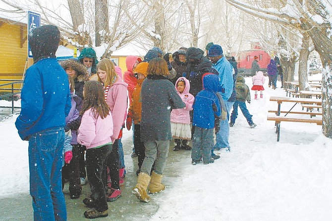
Sandi Hoover/Nevada AppealA long line of passengers curves from the depot around the sidewalk near the Nevada State Railroad Museum Saturday while waiting to board the Santa Train as snow continues to fall.
The leading edge of a powerful Pacific storm which moved into the region Saturday brought an abundance snow to the Sierra and western Nevada, according to meteorologist Scott McGuire, of the National Weather Service in Reno.
In the valleys, the storm was expected to dump 5-10 inches of snow.
One to two feet of snow were expected in the mountains at lake level and two-four feet above 7,000 feet.
"This is a big storm stretching from Oregon to Southern California. There are already flood warnings in L.A.," McGuire said.
"This is a classic winter storm with extremely heavy snowfall. We were behind in our snowpack but with these past three systems, we're catching up pretty fast," he said. "It's an early Christmas present for the ski resorts."
A number of non-injury snow-related accidents were reported Saturday, including a four-car pileup in front on Carson Street about 2:30 p.m.
Snow was expected to continue to fall throughout the night with the heaviest snowfall before midnight, he said, and tapering into lighter snow showers throughout this morning.
Today it is expected to be warmer with a high around 43.
"The cloud cover acts as a blanket to keep things relatively warm," McGuire said.
Boreal ski area atop Donner Summit was reporting 15 inches of new snow Saturday, before the new storm.
Squaw Valley USA, just north of Lake Tahoe, reported up to 10 inches of new snow, while nearby Alpine Meadows reported up to 20 inches.
To the south, snow accumulations between 8 and 16 inches were expected by this morning above 6,000 feet in the Southern California mountains. Sustained winds of 25 to 35 mph with gusts to 50 mph were expected.
Saturday's storm is the second in a series of warmer, wetter storms blowing in from the mid-Pacific Ocean.
Another similar story is expected to move in by midweek, the National Weather Service said.

Comments
Use the comment form below to begin a discussion about this content.
Sign in to comment