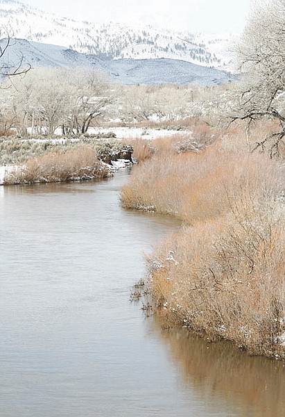
Shannon Litz/Nevada AppealThe Carson River seen from North Deer Run Road on Friday morning. About four inches of snow fell in Carson City between Thursday and Friday morning.
Winter just won't let go.
Another potent storm dumped heavy snow Thursday night and Friday morning in the Sierra Nevada, closing highways, schools and ski resorts around Lake Tahoe.
Down in the valley, Carson City reported almost four inches of snow by Friday morning according to the National Weather Service. In Gardnerville 4.5 inches had covered the ground; three inches were reported in Minden.
In the foothills up to 10 inches fell to go along with a steady wind that iced over roads and caused drifts.
The storm caused the cancellation of Carson High's softball game on Friday. Today's scheduled Carson High baseball also was canceled.
More snow is expected this evening as the winds will remain strong, between 20 and 30 mph. On Sunday a mix of rain and late snow could make Monday morning's commute a difficult one.
However, later in the week spring may finally arrive as temperatures are expected to be near 60. The warmer temperatures will likely cause runoff and melt that could result in flooding in the low-lying areas of Western Nevada.
Up at lake level, Squaw Valley USA ski resort reported nearly 4 feet of new snow overnight at an elevation of 8,200 feet and 2.5 feet of new snow at 6,200 feet.
The Tahoe-area resort has reported more than 50 feet of snowfall for the season - only the third time it has hit that mark since 1970.
Northstar-at-Tahoe is reporting its snowiest winter in 25 years, with more than 42 feet of snow.
Water officials are hailing a series of powerful March storms, saying they ensure healthy summer water supplies for Nevada and California residents, farmers and businesses depending on the Sierra snowpack.
All lanes of Interstate 80 - the main highway between Northern California and Nevada - reopened to passenger vehicles with chains on Friday. The reprieve came after a full day with traffic halted in one or both directions for white-out conditions and snow slides. Truck traffic remained halted from Applegate to the Nevada state line.
"We're still holding trucks because there's not enough space for them to go through," said Carol Herman, a spokeswoman for the California Department of Transportation in Marysville. As much as 3 inches of snow an hour fell in the mountains and plows couldn't keep up, she said.
As of Friday morning, Herman said, 704 inches of snow had fallen in the Sierra high country this season - almost 59 feet. The highest snowfall ever - according to Caltrans records - was 65 feet in the 1950-51 snow season, she said.
The high amounts of snow are making for dangerous avalanche conditions in the Sierra. Avalanche danger is at "high" (a 4 out of 5 on a scale of most dangerous), according to the Sierra Avalanche Center. For more updates, visit www.sierraavalanchecenter.org.

Comments
Use the comment form below to begin a discussion about this content.
Sign in to comment