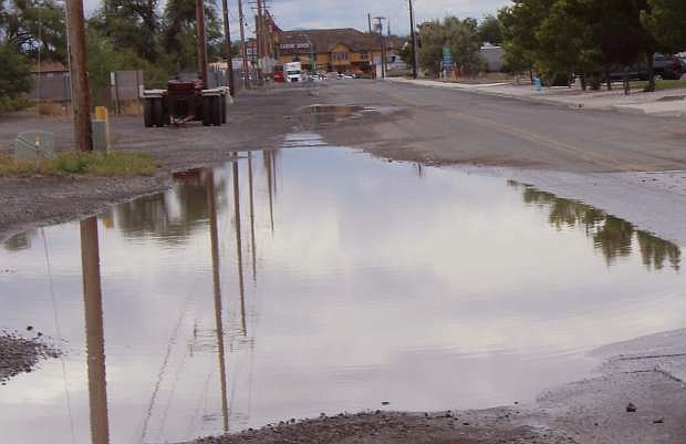
Low areas of Auction Road experienced minor flooding on Sunday.
A series of low-pressure patterns in the West have produced unsettled weather over most of Nevada during the past week.
The latest pattern began late last week in the Lahontan Valley with heavy rain on Friday and then Sunday afternoon leading into the evening.
According to meteorologist Tony Fuentes of the National Weather Service, Nevada is seeing a typical spring weather pattern, but it is more prolonged this year than in previous ones.
“We’re seeing small lows every day in the region,” Fuentes said.
One low that may produce rain on Monday and Tuesday should leave the area Tuesday night, but another low pressure area is moving into Northern Nevada.
“This is another low creating the same pattern with widespread showers and thunderstorms,” Fuentes said.
The forecast for today and Tuesday is calling for a 50 percent chance of showers and thunderstorms, while the forecast for the rest of the week extending to Memorial Day will call for a 15-20 percent for a chance of precipitation.
Day-time temperatures will hover in the mid to upper 60s with morning lows in the 40s. Fuentes said temperatures could be in the 70s by Memorial Day.

Comments
Use the comment form below to begin a discussion about this content.
Sign in to comment