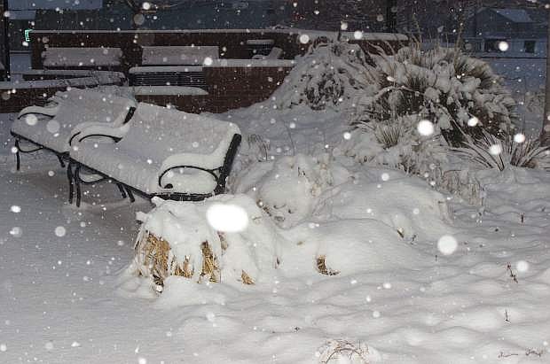
A cold front sweeping across the Great Basin is dumping snow on central and northern Nevada.
Snow began falling in the Lahontan Valley shortly after 8 p.m. on Wednesday, and accumulations have been reported from 3-4 (updated) inches in the city to as much as 6 inches in the valley and 8 inches in Fernley.
Early Thursday morning, fog was also reported.
The expected morning low, which was forecast in the low 30s, has now dipped into the low 20s, causing slick roads and sidewalks. Wind is northerly at 15 miles per hours with stronger gusts.
The following forecast for today and Friday is from the National Weather Service.
Snow likely before 10 a.m., then scattered snow showers, mainly between 10 a.m. and 4 p.m. Mostly cloudy, with a high near 31. North wind around 10 mph, with gusts as high as 20 mph. Chance of precipitation is 70%. Total daytime snow accumulation of an additional 1 to 2 inches is possible.
Tonight:
Isolated snow showers predicted before 10 p.m. with mostly cloudy skies predicted with gradual clearing expected. The low could dip to 6. North wind 5 to 10 mph. Chance of precipitation is 20 percent.
Friday:
Mostly sunny, with a high near 31. Calm wind.
Friday Night:
Mostly cloudy, with a low around 18. Northeast wind around 5 mph becoming calm.

Comments
Use the comment form below to begin a discussion about this content.
Sign in to comment