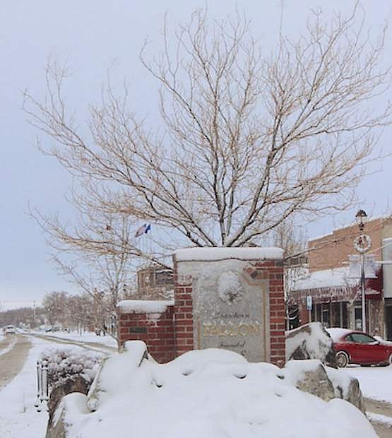
Weekend weather for Fallon, Carson City / Douglas County, Reno/Sparks
Fallon:
Today:
A chance of snow and freezing rain before 10am, then rain and snow likely, possibly mixed with freezing rain between 10am and 1pm, then rain after 1pm. High near 39. East wind 5 to 10 mph becoming north in the afternoon. Chance of precipitation is 80%. Little or no ice accumulation expected. Total daytime snow accumulation of less than a half inch possible.
Tonight
Rain. Low around 35. Southeast wind around 10 mph. Chance of precipitation is 90%. New precipitation amounts between a quarter and half of an inch possible.
Sunday
Rain. High near 48. South wind around 15 mph, with gusts as high as 30 mph. Chance of precipitation is 100%. New precipitation amounts between a half and three quarters of an inch possible.
Sunday Night
Rain. Low around 36. South wind 10 to 15 mph. Chance of precipitation is 100%.
Monday
Rain, mainly before 10am. High near 47. Southwest wind around 10 mph, with gusts as high as 20 mph. Chance of precipitation is 80%.
Monday Night
A 30 percent chance of rain. Mostly cloudy, with a low around 28.
Carson City:
Today
Rain and snow, possibly mixed with freezing rain before 10am, then rain, possibly mixed with freezing rain between 10am and 1pm, then rain after 1pm. High near 41. Southeast wind 5 to 15 mph becoming north in the afternoon. Chance of precipitation is 100%. Little or no ice accumulation expected. Total daytime snow accumulation of less than one inch possible.
Tonight
Rain. Temperature rising to around 48 by 5am. Southwest wind around 10 mph becoming southeast after midnight. Chance of precipitation is 100%. New precipitation amounts between a half and three quarters of an inch possible.
Sunday
Rain. The rain could be heavy at times. Temperature falling to around 40 by 5pm. Breezy, with a south wind 15 to 20 mph, with gusts as high as 35 mph. Chance of precipitation is 100%. New precipitation amounts between 1 and 2 inches possible.
Sunday Night
Rain. The rain could be heavy at times. Low around 37. South wind 10 to 15 mph. Chance of precipitation is 100%.
Monday
Rain. High near 43. Southwest wind around 15 mph, with gusts as high as 25 mph. Chance of precipitation is 80%.
Monday Night
Rain and snow likely. Mostly cloudy, with a low around 30. Breezy. Chance of precipitation is 60%. New snow accumulation of less than one inch possible.
Reno/Sparks:
Today
Snow, possibly mixed with freezing rain before 10am, then rain, possibly mixed with freezing rain between 10am and 1pm, then rain after 1pm. High near 41. Southeast wind 5 to 10 mph becoming north in the afternoon. Chance of precipitation is 100%. Little or no ice accumulation expected. Total daytime snow accumulation of less than one inch possible.
Tonight
Rain. Temperature rising to around 49 by 5am. Southeast wind around 10 mph. Chance of precipitation is 100%. New precipitation amounts between a half and three quarters of an inch possible.
Sunday
Rain. The rain could be heavy at times. High near 51. Southwest wind around 15 mph, with gusts as high as 30 mph. Chance of precipitation is 100%. New precipitation amounts between three quarters and one inch possible.
Sunday Night
Rain. The rain could be heavy at times. Low around 38. South wind around 10 mph. Chance of precipitation is 100%.
Monday
Rain likely. Cloudy, with a high near 45. Southwest wind 10 to 15 mph. Chance of precipitation is 70%.
Monday Night
A chance of rain and snow. Mostly cloudy, with a low around 33. Breezy. Chance of precipitation is 50%. New snow accumulation of less than one inch possible.

Comments
Use the comment form below to begin a discussion about this content.
Sign in to comment