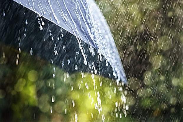
The National Weather Service forecasts a chance of rain midweek in Carson City, with Wednesday being the most likely day for precipitation.
They’re saying there’s a chance.
A chance of rain, that is, according to the National Weather Service.
Starting early Tuesday and continuing through Thursday afternoon, a chance of rain is included in the forecast for Carson City.
That “chance,” at its greatest, is a “50 percent chance of showers” on Wednesday, “with thunderstorms also possible after noon.”
So ... officially ... they’re saying there’s a chance.
Here’s the detailed forecast from the NWS:
Monday night: A 20 percent chance of showers after midnight. Mostly cloudy, with a low around 49. Southwest wind 5 to 15 mph, with gusts as high as 25 mph.
Tuesday: A 40 percent chance of showers. Mostly cloudy, with a high near 71. South wind 5 to 10 mph.
Tuesday night: A 30 percent chance of showers, mainly before midnight. Mostly cloudy, with a low around 48. Southwest wind 5 to 10 mph.
Wednesday: A chance of showers, with thunderstorms also possible after noon. Mostly cloudy, with a high near 66. West wind around 5 mph becoming southeast in the afternoon. Chance of precipitation is 50 percent.
Wednesday night: A chance of showers and thunderstorms before midnight, then a slight chance of rain after midnight. Mostly cloudy, with a low around 45. Chance of precipitation is 40 percent.
Thursday: A 20 percent chance of rain. Partly sunny, with a high near 63.
Thursday night: Partly cloudy, with a low around 37.
Friday: Mostly sunny, with a high near 66.
Friday night: Partly cloudy, with a low around 38.
Saturday: Mostly sunny, with a high near 66.
Saturday night: A slight chance of showers. Partly cloudy, with a low around 35.
Sunday: Mostly sunny, with a high near 64.

Comments
Use the comment form below to begin a discussion about this content.
Sign in to comment