Snowpacks range from 143-193 percent of median across the northern part of the Silver State as of April 1, reports the National Resource Conservation Service.
Although the snowfall this year doesn’t compare to the record snowfall in 2017, this year’s snow isn’t setting the number of records that were measured in 2017; however, at elevations between 6,000 and 7,500 feet, snow exceeds 2017 in some places and is setting a few new records.
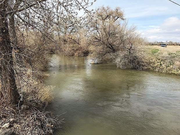
The NRCS also reports the April 1 streamflow forecasts point toward an excellent runoff season statewide. High streamflow will keep reservoirs in Northern Nevada in great shape as the area heads into next winter.
Storms continued through March producing April 1 snowpacks that are 172-193 percent of median in the eastern Sierra, and 143-171 percent of median across the Northern Great Basin and the Humboldt, Owyhee, Snake River and Clover Valley basins. The latest snowpack totals show the Carson Basin is at 193 percent, while the Walker and Lake Tahoe Basins are at 183 percent, and the Truckee Basin is at 172 percent.
The NRCS said reservoirs across Northern Nevada are expected to fill this spring. Water managers have been creating room in reservoirs along the Truckee River and flows were also increased on the Carson River below Lahontan Reservoir at the end of March. Reservoirs may fill later than usual to maintain flood control space due to the large snowpack. Expect good reservoir inflows and excellent carryover storage next winter.
The Truckee Carson Irrigation District with direction given by the U.S. Bureau of Reclamation, began last week the precautionary release of water from Lahontan Reservoir so as to account for and balance the present storage volume in the reservoir with the anticipated run-off in the Carson River watershed, said District Manager Rusty Jardine.
Jardine said this is not spread water.
“Spread water consists of water that is delivered during the course of flood operations in the project at no charge to annual allocations,” he said.
As of the weekend, Lahontan Reservoir has more than 208,000 acre-feet of water compared to 245,000 acre-feet in 2017.
Pursuant to criteria established in 1997,Jardine said precautionary releases of water are delivered as follows: First, where possible, to water-righted lands and charged against the user’s annual allocation; Second, for storage in project-regulating reservoirs, and third, at no charge to allocations for storage in wetlands in the Stillwater National Wildlife Refuge, Stillwater Wildlife Management Area, Fallon National Wildlife Refuge, the Carson Lake Pasture and Marsh, and the Fallon Paiute-Shoshone Indian Reservation.
“Water that is stored in regulating reservoirs, and later diverted to water users, is charged against a water user’s annual allocation,” he said. “We remind surface water right holders that when no need exists for the application of water, because of excessively wet conditions such that we now have, with more storms forecast in the future, water right owners need not worry about losing water if not used.”

Comments
Use the comment form below to begin a discussion about this content.
Sign in to comment