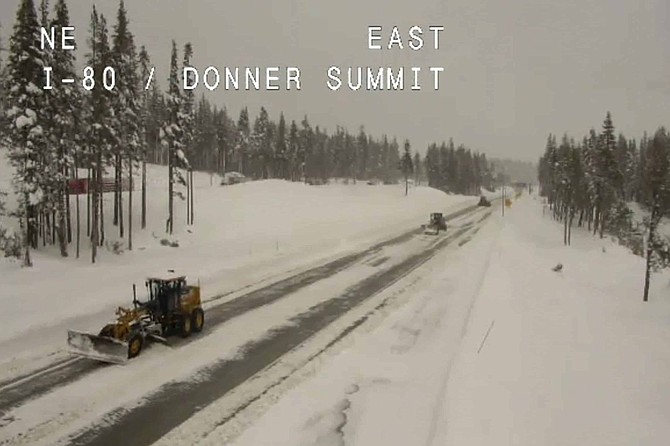
In this still image taken from a Caltrans remote video traffic camera, snowplows work along Interstate 80 at Donner Summit, Calif., Tuesday, March 17, 2020. Another round of snow snarled traffic with more than a dozen crashes on slippery roads in Reno and triggered chain controls on I-80 in the Sierra. Chains were mandatory for a 55-mile (66-kilometer) stretch of I-80 from the California-Nevada line west of Reno over the top of Donner Pass in Placer County California. The only exception is four-wheel vehicles with snow tires.
One storm does not make a “Miracle March” but what an impact the last few days have had on the Sierra snowpack.
Weekend snowstorms added 13% to the snowpack, according to Jeff Anderson, water supply specialist for the Natural Resources Conservation Service in Nevada.
“To gain back that amount this time of year is really hard,” Anderson told the Tribune.
The snowpack started the weekend at 43% at the Mount Rose Snotel site and was at 56% to end the weekend, not counting the foot-plus from this week .
The snow water content from the latest storm is 3.3 inches through Sunday, about three times the average gain for the month which is 1.2 inches. The typical gain for January and February is six inches.
Before this storm, the snowline was creeping up the mountains at Lake Tahoe at a fast pace.
“The snowpack was melting rapidly, even at the higher levels,” Anderson said. “This storm has really pushed that back for a while.”
While the snowpack is in much better standing than it was a few days ago, it’s still a long ways from a miracle, like 2018.
Two years ago, the Tahoe snowpack was at 35% entering March and increased a whopping 44%, up to 79%. That year, March received 11 inches of snow water content.
That year there were a few storms like the one passing through that completely buried Lake Tahoe for three straight weeks.
The snow is expected to continue through Monday night into Tuesday and the weather pattern remains unsettled for the rest of the week with snow showers expected.

Comments
Use the comment form below to begin a discussion about this content.
Sign in to comment