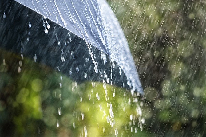
Carson City is set for another round of precipitation Friday, according to the National Weather Service.
Officially, there is a chance for snow in the city, but the chance is slim.
The NWS (weather.gov) forecast calls for a 30 percent chance of snow after 4 a.m. Friday, with the snow level lowering from 5,200 feet to 4,600 feet (Carson City’s elevation is 4,800 feet), but “little or no snow accumulation” is expected.
The chance of rain or snow continues through 10 a.m. Friday, then changes to a chance of rain. The chance of precipitation, again, is 30 percent.
Winds could gust as high 40 mph, the NWS said.
THE FORECAST
Wednesday night: Partly cloudy, with a low around 24. Southwest wind around 5 mph.
Thursday: Mostly sunny, with a high near 49. Calm wind becoming east around 5 mph in the afternoon.
Thursday night: A 30 percent chance of snow after 4 a.m. Snow level 5,200 feet lowering to 4,600 feet after midnight. Mostly cloudy, with a low around 28. Southeast wind around 5 mph becoming southwest after midnight. Little or no snow accumulation expected.
Friday: A chance of rain and snow before 10 a.m., then a chance of rain. Snow level 4,800 feet rising to 5,600 feet in the afternoon. Partly sunny, with a high near 49. Breezy, with a west wind 15 to 25 mph, with gusts as high as 40 mph. Chance of precipitation is 30%. Little or no snow accumulation expected.
Friday night: Partly cloudy, with a low around 21. Northwest wind around 5 mph becoming south after midnight.
Saturday: Mostly sunny, with a high near 45.
Saturday night: Mostly cloudy, with a low around 23.
Sunday: Partly sunny, with a high near 50.
Sunday night: Partly cloudy, with a low around 24.
Monday: Mostly sunny, with a high near 52.
Monday night: Mostly cloudy, with a low around 26.
Tuesday: Partly sunny, with a high near 53.

Comments
Use the comment form below to begin a discussion about this content.
Sign in to comment