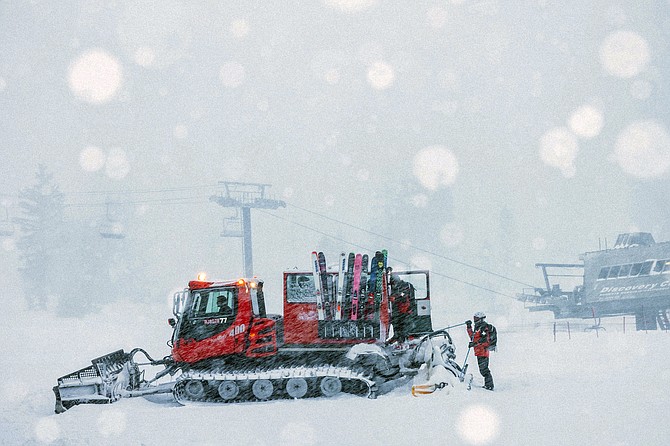
Crew members get ready to board a snow plower at Mammoth Mountain in Mammoth Lakes, Calif., on April 15, 2022. California storms have blanketed the Sierra Nevada in snow with more expected this week.
Peter Morning/MMSA via AP
The snowfall train continues...
— NWS Reno (@NWSReno) April 18, 2022
System 1: Sierra impacts possible overnight into midday Tue. Winter Weather Advisory in effect above 6,500ft across the Tahoe Basin.
System 2: Much colder/wetter with more widespread snowfall impacts from system 2nd half of the week. #cawx #nvwx pic.twitter.com/yylP1y45LZ

Comments
Use the comment form below to begin a discussion about this content.
Sign in to comment