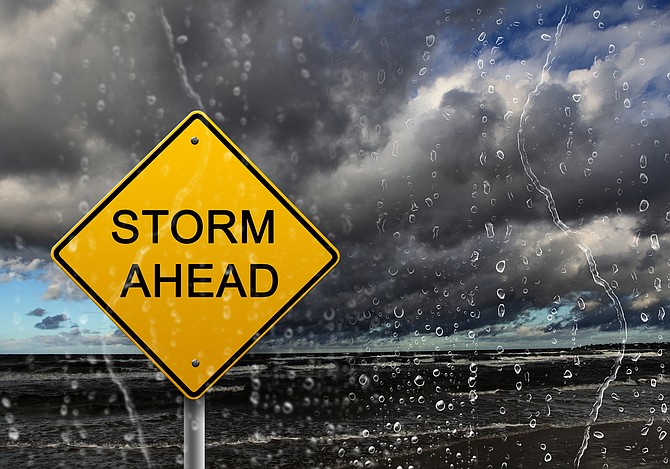
Carson City is going to be windy and wet while Lake Tahoe could see a foot of snow with up to three feet in the highest reaches of the Sierra, the National Weather service said.
A winter storm warning has been issued for greater Lake Tahoe area from 5 p.m. Wednesday until 11 a.m. Friday.
“Heavy snow expected,” said the NWS statement posted at weather.gov. “Total snow accumulations of 6 to 12 inches below 7,000 feet, with 1 to 2 feet west of Highway 89 and in the Carson Range. For the Sierra crest above 7,000 feet, snowfall totals of 2 to 3 feet are likely. Winds gusting to 50 mph with Sierra ridge gusts above 80 mph.”
The NWS also has issued a wind advisory for the greater Carson City-Minden-Reno area starting at 8 p.m. Wednesday and continuing through 1 p.m. Thursday, with southwest winds 20 to 35 mph with gusts up to 55 mph expected.
Carson City has an 80 percent chance of rain Thursday, with up to one-half inch total forecast. The rain could change to snow late Thursday through Friday morning.
But the serious action will take place higher up.
“Travel could be very difficult with long delays and possible highway closures over the Sierra,” the NWS said. “The hazardous conditions will impact the morning and evening commutes Thursday into Friday.
“Windy conditions will continue to produce hazardous conditions on Lake Tahoe during the storm with wave heights 1 to 4 feet.
“Avoid travel if possible, you could be stuck in your vehicle for many hours with conditions similar to mid-winter storms. If you must travel, prepare for long delays and carry an emergency kit with extra food, water and clothing. If you stay home, have a backup plan in case of power outages.”
For Nevada road conditions, go to nvroads.com.
For California road conditions, go to roads.dot.ca.gov.
The latest road conditions can be obtained by calling 5-1-1.
CARSON CITY FORECAST
Wednesday: Sunny, with a high near 62. Breezy, with a southwest wind 5 to 10 mph increasing to 15 to 20 mph in the afternoon. Winds could gust as high as 35 mph.
Wednesday night: Rain, mainly after 2 a.m. Snow level 7,000 feet lowering to 6,200 feet after midnight. Low around 38. Windy, with a south wind 25 to 30 mph, with gusts as high as 45 mph. Chance of precipitation is 80%.
Thursday: Rain, mainly before 8 a.m. Snow level 5,800 feet. High near 54. Breezy, with a southwest wind 20 to 25 mph, with gusts as high as 35 mph. Chance of precipitation is 80%. New precipitation amounts between a quarter and half of an inch possible.
Thursday night: Rain likely before 11 p.m., then rain and snow likely. Snow level 5,800 feet lowering to 4,900 feet after midnight. Mostly cloudy, with a low around 30. West wind 10 to 15 mph, with gusts as high as 25 mph. Chance of precipitation is 70%. New snow accumulation of less than a half inch possible.
Friday: A chance of snow before 11 a.m., then a chance of rain. Snow level rising to 5,500 feet in the afternoon. Partly sunny, with a high near 54. West wind 5 to 10 mph. Chance of precipitation is 40%. Little or no snow accumulation expected.
Friday night: Partly cloudy, with a low around 29. West wind 5 to 15 mph.
Saturday: Sunny, with a high near 61.
Saturday night: Clear, with a low around 31.
Sunday: Sunny, with a high near 67.
Sunday night: Partly cloudy, with a low around 36.
Monday: Mostly sunny, with a high near 71.
Monday night: Partly cloudy, with a low around 39.
Tuesday: Mostly sunny, with a high near 69.

Comments
Use the comment form below to begin a discussion about this content.
Sign in to comment