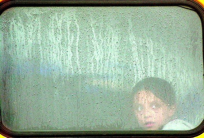
Rick Gunn/Nevada Appeal Gabriella Resendiz, 9, looks at the foul weather out the back of a school bus Wednesday afternoon. She was going from Mark Twain to the Boys & Girls Club of Western Nevada.
Snow that blanketed the Sierra Nevada, closing roads and temporarily interrupting the California Lottery, should continue to brighten the valley floor in Carson City this morning.
"You should get 1 to 3 inches in the lower elevations with, oh, maybe 3 to 5 inches above," said Dave Pike, meteorologist with the National Weather Service in Reno. "Carson could get up to 3 inches - which isn't a big deal."
While Carson City was being soaked by rain through much of Wednesday, the storm created a slushy mess in Stateline on Lake Tahoe's southern shore before settling into heavy snow.
"On a scale from one to 10, with 10 being the biggest storm of the season, this is an eight or nine," said National Weather Service meteorologist Jim Fischer.
By 5:30 p.m., Heavenly Valley Ski Resort was celebrating 10 inches of new snow. Forecasters expect the storm to dump 2-4 feet of snow in the mountains by the time it's over.
The dense, heavy snow forced school and road closures around Lake Tahoe, a power outage, street flooding, and boulders to fall on highways.
The storm may have affected phone lines, causing the problems with the California Lottery. Merchants were not able to make lottery transactions for the $28 million jackpot. Problems were also reported in Sacramento.
Officials at the Tahoe-Truckee Unified School District didn't even wait for the storm. They looked at the forecast and called off Wednesday classes.
Classes at Western Nevada Community College in Carson City were cancelled.
Elsewhere in the Lake Tahoe basin, all highways going over mountain passes required chains or snow tires, with Highway 88 closed at Carson Spears near Kirkwood Mountain Resort, which was closed for the day.
Caltrans and Nevada Department of Transportation road crews responded to multiple reports of rocks and debris on the roadways.
The unsettled weather is the result of a low pressure system coming straight across the Pacific Ocean, Pike said. Wednesday afternoon the cold front was lined up along the Sierra. The coldest air came over the hills between 6 and 8 p.m. Wednesday night, then moved into central Nevada.
Things are supposed to start drying out in Carson City by Friday afternoon.
"Saturday looks like it will be OK," said Pike. "Then late Sunday night into Monday there will be more snow and rain on the way."
By then temperatures are expected to be little warmer -meaning more rain for Carson City, not snow.
The precipitation comes at a crucial time for the mountain snowpack, which provides the bulk of summertime water across the region. Before the storm, its water content was about average for the date.
In four past dry winters, early storms left promising snowpacks that dwindled as precipitation dropped off after Christmas.
The Desert Research Institute cranked up three cloud seeding generators in the Walker River Basin and was waiting for winds to die down so it could begin seeding in the Tahoe Basin.
"This is a great time for another storm to come our way," Heavenly spokeswoman Angela Moniot said. "It will bring us through the springtime."
At Sugar Bowl Ski Area, Marketing Director Greg Murtha already was looking ahead to decreasing snow today.
"We're going to be digging out and securing the mountain as soon as possible so people can get out and ski," he said.
Reporters Jeff Munson and William Ferchland and the Associated Press contributed to this report.

Comments
Use the comment form below to begin a discussion about this content.
Sign in to comment