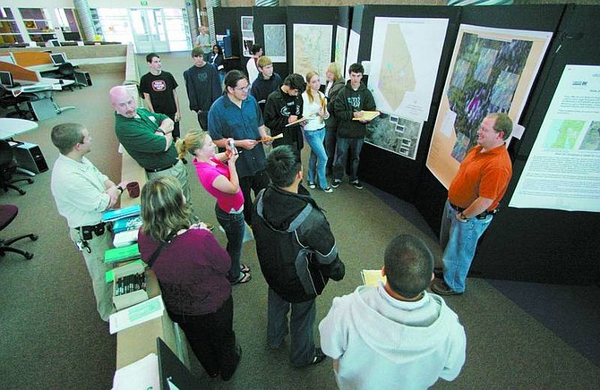
BRAD HORN/Nevada Appeal Danielle Judge, 17, photographs Grahame Ross, a GIS Analyst for the Nevada Department of Transportation, during the engineering fair at Carson High School on Friday. Judge is in a GIS II class at the school and is creating a project from the fair.
What is it?
The annual GIS Fair at Carson High School that coincides with National GIS Day. The CHS features about 20 booths set up by private businesses and government agencies that use geographic-information systems.
Most of booths have different maps on display. A representative from the Nevada Department of Transportation brings a GPS unit and takes students on a scavenger hunt.
"I just facilitate the fair," said GIS teacher Teresa Breeden. "The agencies that come in do the massive amount of work."
Who does it serve?
All students are invited to attend. It is left to teachers' discretion how much time each class will spend at the fair. Some spend 10 minutes; others will stay more than an hour.
"There's a steady flow all day long," Breeden said. "We're getting more and more students participate each year."
Why is it held?
"GIS is a huge field," Breeden explained. "It's getting bigger and bigger, and (businesses) basically can't find enough people to hire."
Even students who aren't interested in pursuing a career can benefit because the fair has elements pertaining to science, math and English.
"It relates directly to our curriculum," Breeden said.

Comments
Use the comment form below to begin a discussion about this content.
Sign in to comment