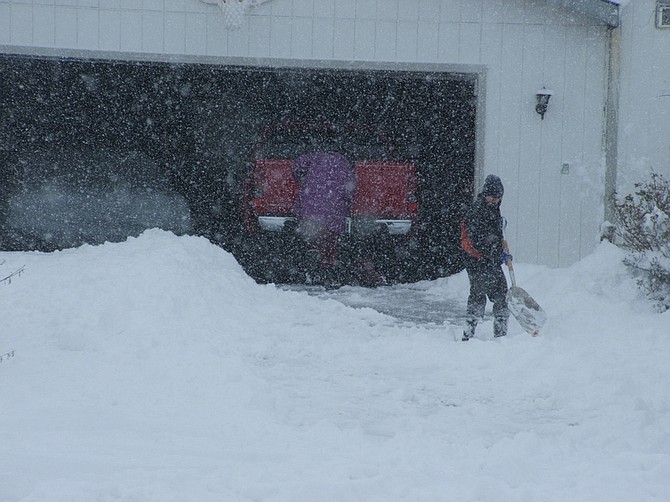
Lyon County residents begin digging out.
A very cold air mass will remain over eastern California and western Nevada for much of the upcoming week, according to the National Weather Service.
Daytime temperatures will remain below freezing even in the lower elevations Monday through Wednesday.
Monday night and Tuesday night temperatures could drop into the single digits across most of the region with temperatures possibly dropping below zero especially in snow covered areas if skies clear.
Pacific moisture will return to the Sierra by Thursday morning bringing another round of snow to much of the region. While it is too early to forecast exact snow amounts this system does not appear to be as strong as the current storm.
However accumulating snow will be possible in the higher elevations with
some light precipitation in the lower elevations on Thursday.
A stronger storm may arrive to the region by Saturday. The air mass does not appear to be as cold so precipitation in lower elevations could fall as rain, but significant snowfall will be possible in the Sierra.
The wet pattern looks to continue through the weekend and into the early part of next week with a series of storm systems possibly affecting the region.
Overnight, between 8 and 14 inches fell in Carson City.
Classes were canceled in Carson City, Dayton, Silver Springs, Fernley and at Western Nevada College.

Comments
Use the comment form below to begin a discussion about this content.
Sign in to comment