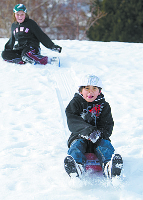
Cathleen Allison/Nevada Appeal
Slight snow is expected throughout the week with forecasters predicting warmer temperatures hitting the region on New Year's Day.
National Weather Service meteorologist Scott McGuire said Tuesday that high winds and snow are expected overnight and into this morning with showers in the afternoon.
"Then it quiets down for the most part with a chance for more snowfall New Year's Day. But right now forecast models are keeping that system to the north," he said.
New Year's Eve revelers can expect to deal with biting cold, with daytime highs of about 40 degrees and overnight lows reaching 25 degrees.
On New Year's Day the high is expected to reach 46 degrees.
Nevada Highway Patrol Trooper Chuck Allen said motorists should prepare for safe travel by allowing additional time to reach their destinations and reducing their vehicle's speed for the commute this morning.
Icy roads kept troopers busy during Tuesday morning's commute across western Nevada, and Wednesday's commute could be slick as well.
Allen said officers responded to 10 crashes between 5:30 a.m. and 8:30 a.m. Tuesday. Seven of those were on the westbound stretch of Interstate 80 east of Sparks between the USA Parkway and Mustang interchanges.
Other accidents were reported near the Carson City-Douglas County line on Highway 50; on U.S. 395 at Stephanie Way in Douglas County; and on U.S. 395 in Washoe Valley.
Two accidents involved people who received undisclosed injuries.
"With temperatures below the freezing mark, any moisture on the roadway surfaces should be considered icy and not wet, especially on bridges and below underpasses," said Allen.
"Also, when installing and removing tire chains/cables, please utilize one of the many designated areas adjacent to the highway or do so as far away from a travel lane as possible."
To report a traffic accident, stranded motorist, or other highway emergency; dial *NHP from any cell phone.
McGuire said this wet patch of weather and cold temperatures is in line what is normally seen this time of year.
Saturday and Sunday are expected to be partly sunny, with highs near 46 and a low around 22.
Monday is expected to be mostly sunny, with a high near 43 and a low around 21.
- The Associated Press contributed to this report.

Comments
Use the comment form below to begin a discussion about this content.
Sign in to comment