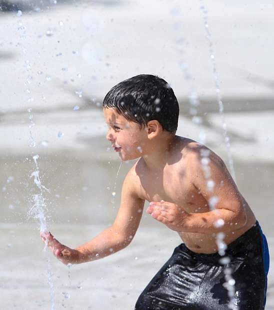
A youngster cools off during a summer heat wave.
Last winter was western Nevada’s wettest on record and, according to Zach Tolby of the National Weather Service, it was followed by the warmest summer on record.
January 2017 got off to what weather service scientists described as “a ferocious start,” with storms dumping more than 15 feet of snow in the Sierra in less than two weeks.
At one point, Highway 50 and Interstate 80 were closed through the night and some parts of the Tahoe Basin were without power for up to 10 days.
The storms continued through February and March with what meteorologists termed an atmospheric river event that caused extensive flooding all the way from Susanville through Reno to Carson City and south to Topaz Lake. Officials had to release water from reservoirs throughout the area including Lahontan and Topaz Lake in anticipation of a huge snowmelt in spring. Water from Lahontan at one point cut Highway 50 as well as the road connecting Pyramid Lake to Interstate 80 east of Reno.
By mid-April, the northern Sierra had broken the 1922 record for the wettest water year ever as another storm dumped an additional four feet of snow at Mammoth Summit.
Winter was followed by an unseasonably warm April that quickly turned a lot of that snowpack to water that resulted in above normal flows in the Carson, Walker, Truckee and Humboldt rivers. All were at flood stage until June.
The heat also helped spawn 760 wildland fires that consumed 1.2 million acres in Nevada including the spring Little Valley fire in Washoe Valley.
While detailed temperature records weren’t available for Carson City, weather service meteorologists said Reno saw a new record of 51 consecutive days at 90 degrees and above. The old record was just 35 days.
In addition, the area recorded a new record for the number of days where temperatures exceeded 100 degrees — 16 eclipsing the 1972 record of 13 days.
Fall got off to a wintery start with six inches of snow at the upper elevations of the Sierra in September. And a waterspout seen at Tahoe resulted in a rare tornado warning on the lake.
October was a fairly typical fall month but winter made an appearance in November as western Nevada from Verdi to Minden received up to five inches of rainfall.
Unfortunately, forecasters say it’s been pretty dry since then.
According to the Nevada Natural Resource Conservation Service, the snowpack is below normal at this point. But scientists point out that can quickly change as it did last January.

Comments
Use the comment form below to begin a discussion about this content.
Sign in to comment