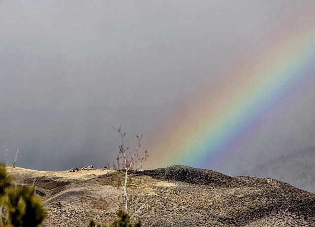
A rainbow is seen from Indian Hills as a storm moves across the mountains Saturday morning.
A warm storm that’s causing in effect an inversion in reverse in which overnight temperatures will still be warm in Carson City but actually colder than in the Sierra Nevada will continue over the next couple of days.
The National Weather Service forecast calls for a 100 percent chance for rain for the rest of the day today with an 80 percent chance of rain tonight. The forecast calls for an 80 percent chance of rain on Tuesday, with the storm beginning to clear Tuesday night. There’s a 40 percent chance of rain for Tuesday night. The forecast calls for partly sunny skies by Wednesday.
Today’s high is forecast to be 45 with an overnight low of 35. Tuesday’s high and low is forecast to be 46 and 27 with a high and low of 48 and 28 on Wednesday and a high of 53 on Thursday.
The forecast calls for a 100 percent chance of rain in Lake Tahoe today with a 90 percent chance of rain tonight. The forecast calls for a 90 percent chance of rain and show on Tuesday and a 50 percent chance of rain and snow on Tuesday night with a 20 percent chance of rain and snow before 10 a.m. Wednesday. Little to snow accumalation is expected.
Today’s high and low in Lake Tahoe is forecast to be 41 and 37 with a high and low of 42 and 34 for Tuesday, 43 and 37 for Wednesday and 47 and 38 for Thursday.

Comments
Use the comment form below to begin a discussion about this content.
Sign in to comment