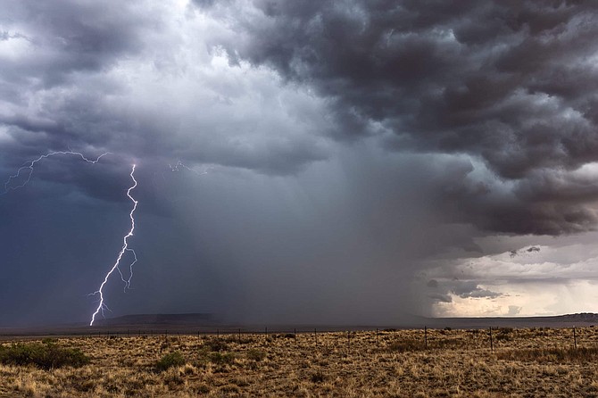
The National Weather Service has issued a “Fire Weather Watch” for the Carson City area starting Tuesday afternoon and continuing through Wednesday evening.
The NWS release warns of thunderstorms and new fire starts Tuesday followed by gusty winds and low humidity Wednesday.
The affected area covers the Northern Sierra Front including Carson City, Douglas, Storey, western Lyon and southern Washoe counties.
The forecast is for “wet” thunderstorms on Tuesday with very dry and breezy winds north of Interstate 80 on Wednesday.
“Tuesday, outflow winds near thunderstorms near 50 mph. For Wednesday, west winds 15-25 mph with gusts to 35 mph north of Interstate 80,” the NWS said.
Afternoon humidity will be 10 to 15 percent each day. No thunderstorms are in Wednesday’s forecast.
The NWS recommends residents avoid outdoor activities that can cause a spark near dry vegetation, such as yard work, target shooting, or campfires.
Check weather.gov for updates and livingwithfire.info for preparedness tips.

Comments
Use the comment form below to begin a discussion about this content.
Sign in to comment