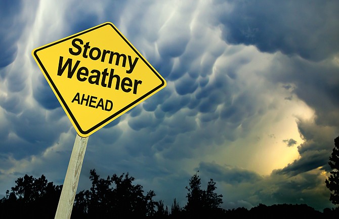
The National Weather Service has issued a high wind warning for the greater Carson City, Minden and Reno area from 8 a.m. until 8 p.m. Monday.
“Damaging winds will blow down trees and power lines,” the NWS said on its website (weather.gov). “Power outages are expected. Travel will be difficult, especially for high profile vehicles.”
The NWS forecasts west to southwest winds, 25-35 mph with gusts up to 60 mph regionwide, with gusts as high as 80 mph “in the foothills and wind-prone locations along U.S. Highway 395 and Interstate 580.”
The winds combined with dry vegetation “may result in a period of localized critical fire conditions,” the NWS said, “so avoid activities that may spark a fire.”
The system also is bringing a chance of showers, both rain and snow, on Monday and again on Thursday. While snow showers are likely on Monday, the NWS is expecting little to no snow accumulation.
THE FORECAST
Monday: Rain showers likely between 8 a.m. and 2 p.m., then snow showers likely after 2 p.m. Snow level 5,600 feet lowering to 4,600 feet in the afternoon. Partly sunny, with a high near 52. Windy, with a southwest wind 20 to 25 mph increasing to 25 to 30 mph in the morning. Winds could gust as high as 50 mph. Chance of precipitation is 70%. Little or no snow accumulation expected.
Monday night: A 30 percent chance of snow showers before 11 p.m. Partly cloudy, with a low around 19. Breezy, with a west wind 20 to 25 mph decreasing to 10 to 15 mph after midnight. Winds could gust as high as 40 mph. Little or no snow accumulation expected.
Tuesday: Sunny, with a high near 46. West wind 5 to 15 mph, with gusts as high as 25 mph.
Tuesday night: Partly cloudy, with a low around 21. Breezy, with a southwest wind 15 to 20 mph decreasing to 10 to 15 mph after midnight. Winds could gust as high as 30 mph.
Wednesday: Partly sunny, with a high near 52. West wind 5 to 15 mph.
Wednesday night: A 30 percent chance of snow showers, mainly after 11 p.m. Mostly cloudy, with a low around 29. Little or no snow accumulation expected.
Thursday: A chance of snow showers before 8 a.m., then a chance of rain and snow showers between 8 a.m. and 11 a.m., then a chance of rain showers after 11 a.m. Snow level rising to 6,000 feet in the afternoon. Partly sunny, with a high near 55.
Thursday night: A chance of rain showers before 11 p.m., then a slight chance of rain and snow showers between 11 p.m. and 2 a.m., then a slight chance of snow showers after 2 a.m. Snow level 5,900 feet lowering to 4,600 feet after midnight. Partly cloudy, with a low around 30. Breezy.
Friday: A slight chance of snow showers before 11 a.m., then a chance of rain showers. Mostly sunny, with a high near 56.
Friday night: A chance of rain and snow showers. Snow level 6,000 feet lowering to 4,600 feet after midnight . Mostly cloudy, with a low around 28.
Saturday: A slight chance of rain and snow showers. Mostly sunny, with a high near 54.
Saturday night: Partly cloudy, with a low around 25.
Sunday: Mostly sunny, with a high near 59.

Comments
Use the comment form below to begin a discussion about this content.
Sign in to comment