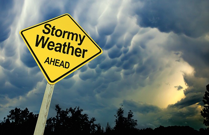
The National Weather Service has issued a wind advisory starting Monday at 1 p.m. and says a dusting of snow is possible in Carson City with up to 3 inches in the Tahoe Basin.
A fast moving low pressure system will move across eastern California and western Nevada from Monday evening into early Tuesday morning, according to the NWS. This will bring an increase in winds Monday afternoon into Monday night, with colder conditions and a short period of rain and snow Monday evening through early Tuesday.
A wind advisory has been issued from 1 p.m. Monday to 1 a.m. Tuesday. Southwest winds 15 to 30 mph with gusts up to 50 mph are expected. Gusts up to 65 mph possible in wind prone locations along U.S. Highway 395 and Interstate 580.
Gusty winds could blow around unsecured objects, restrict travel for high profile vehicles, and impact outdoor recreation.
A band of rain and snow will move southward from Monday evening through early Tuesday morning. Accumulations of 1-3 inches are possible for the Tahoe Basin northward into Sierra, Plumas, and Lassen counties, with an inch or so for foothills and the Virginia Highlands in far western Nevada. For lower elevations of western Nevada, rain will likely end as a brief period of snow, with snow amounts ranging from a dusting up to one inch.
Sharply colder temperatures near or below freezing will arrive late Monday night into Tuesday, the NWS said.
While the snow is expected to end prior to the Tuesday morning commute, slick patches could remain, especially on roads near and above 5000 feet. Slow down and allow extra travel time for Tuesday morning.
THE FORECAST
Monday night: A chance of rain between 10 p.m. and 1 a.m., then a chance of snow after 1 a.m. Snow level 6,600 feet lowering to 4,600 feet after midnight. Increasing clouds, with a low around 23. Breezy, with a southwest wind 15 to 20 mph becoming northwest after midnight. Winds could gust as high as 30 mph. Chance of precipitation is 50%. New snow accumulation of less than a half inch possible.
Tuesday: A 20 percent chance of snow before 10 a.m. Mostly sunny, with a high near 43. North wind 10 to 15 mph.
Tuesday night: Mostly clear, with a low around 19. North wind around 5 mph becoming calm in the evening.
Wednesday: Sunny, with a high near 52. Southwest wind 5 to 10 mph becoming north in the afternoon.
Wednesday night: Clear, with a low around 23. Northeast wind around 5 mph becoming calm after midnight.
Thursday; Sunny, with a high near 55.

Comments
Use the comment form below to begin a discussion about this content.
Sign in to comment