Cathleen Allison/Nevada Appeal
RENO, Nev. (AP) - Winds gusting in excess of 100 mph have downed power lines in northern Nevada, causing power outages for thousands of residents in Reno and wreaking havoc with travel in the Sierra.
The California Highway Patrol closed a stretch of westbound of U.S. Interstate 80 north of Lake Tahoe Tuesday morning after the wind flipped a truck on its side.
The National Weather Service says winds topped the 125 mph mark at the Mount Rose Ski Resort between Reno and Tahoe.
Sustained winds of 63 mph were recorded at Reno-Tahoe International Airport, where several flights have been canceled or delayed. A gust of 107 mph was recorded just south of town on U.S. Highway 395.
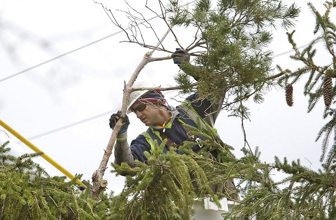
About 2,500 people are without power in the Reno area. Meanwhile, Carson City has experienced few if any power outages, said Karl Walquist, a spokesman for NV Energy.
"Throughout the region there are power outages that have resulted of the strong winds, primarly blowing tree limbs into the power lines," Walquist said, adding most of the customers affected are in the Carson Valley and near Mount Rose Highway in south Reno.
The National Weather Service forecast through Sunday:
Today: Rain likely, mainly after 11 a.m. Cloudy, with a high near 63. Windy, with a south southwest wind around 30 mph, with gusts as high as 60 mph. Chance of precipitation is 60 percent.
Tonight: Rain showers before 11 p.m., then rain and snow showers likely. Snow level 6,000 feet lowering to 4,700 feet. Low around 32. Breezy, with a west southwest wind between 15 and 25 mph, with gusts as high as 40 mph. Chance of precipitation is 80 percent. Little or no snow accumulation expected.
Wednesday: Scattered snow showers. Mostly cloudy, with a high near 48. West northwest wind between 10 and 15 mph, with gusts as high as 25 mph. Chance of precipitation is 30 percent. Little or no snow accumulation expected.
Wednesday Night: A 20 percent chance of snow showers. Mostly cloudy, with a low around 30. West northwest wind between 5 and 15 mph, with gusts as high as 20 mph.
Thursday: A slight chance of snow showers before 11 a.m., then a slight chance of rain and snow showers. Mostly cloudy, with a high near 50. West wind around 15 mph, with gusts as high as 30 mph. Chance of precipitation is 20 percent.
Thursday Night: A chance of rain showers before 11 p.m., then a chance of snow showers. Snow level 5,400 feet lowering to 4,700 feet. Mostly cloudy, with a low around 31. Chance of precipitation is 30 percent. Little or no snow accumulation expected.
Friday: A chance of snow showers before 11am, then a chance of rain showers. Snow level 4,900 feet. Mostly cloudy, with a high near 53. Chance of precipitation is 30 percent. Little or no snow accumulation expected.
Friday Night: A slight chance of showers. Partly cloudy, with a low around 29.
Saturday: Mostly sunny, with a high near 56.
Saturday Night: Partly cloudy, with a low around 30.
Sunday: Mostly sunny, with a high near 67.
Comments
Use the comment form below to begin a discussion about this content.
Sign in to comment