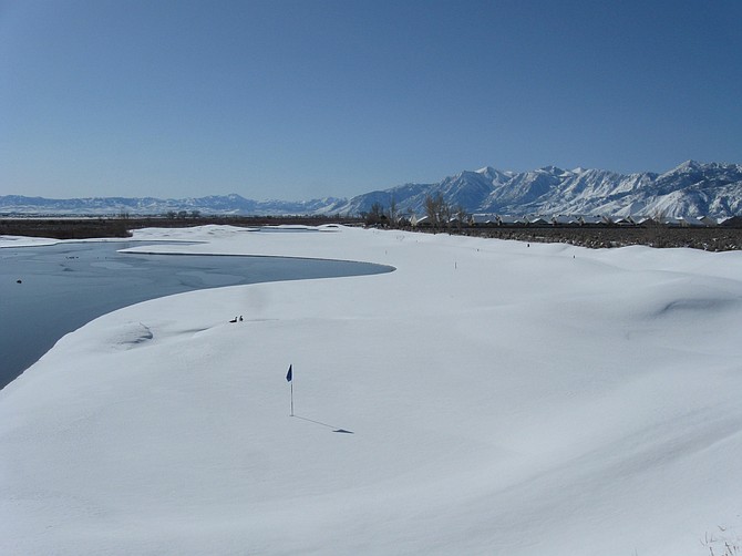
David Knighton took this photo looking at Sunridge Golf Course
Snow levels for the approaching winter storm are unknown as of mid-Tuesday. The National Weather Service in Reno has issued a winter storm warning for elevations above 7,000 feet. For the Valley floors, NWS in Reno says "a heavy rain scenario is fairly certain," adding that "snow level forecasts have been widely varied."
Travel through the mountain passes will be difficult if not impossible.
The National Weather Service in Reno has upgraded its winter storm watch to a winter storm warning for elevations above 7,000 feet. The warning will remain in effect from 10 p.m. Tuesday to 10 p.m. Thursday.
As the weather service explained, the amount of snow from the storm depends on how quickly the snow level rises.
"Areas below 8,500 feet, the snow level forecast is highly uncertain with scenarios ranging from heavy rain to heavy wet snow," the weather service states.
Above 8,000 feet could see 2 to 5 feet.
Winds could blow as strong as 55 mph during the storm, with ridge gusts potentially exceeding 150 mph, according to the service.
Sandbag locations in Carson City can be found here.
Lyon County crews are establishing self fill sandbag stations at:.
Silver Springs Animal Control Yard. (East of Ramsey Weeks)
Stagecoach Community Center. (Highway 50)
Outside of gate at 200 Lakes Blvd, Road/Utilities Yard.
Fire Station on Red Rock Rd, Mound House.
Silver City Community Center

Comments
Use the comment form below to begin a discussion about this content.
Sign in to comment