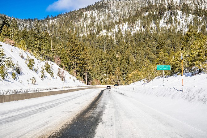
Driving on an ice and snow covered road through the Sierra mountains on a sunny day; Carson City road sign on the right; Nevada
RENO — A late winter storm is headed for the Sierra this weekend where as much as 2 feet of snow is possible on the mountain tops around Lake Tahoe by early Monday.
The National Weather Service in Reno has issued a winter storm watch effective from Saturday afternoon through Monday morning for the Greater Lake Tahoe area and parts of Northern California in the Sierra stretching as far north as Susanville and as far south as Mammoth Lakes.
Between 6 and 12 inches of snow is expected around the lake, with up to 1 to 2 feet in the upper elevations above the west shore and west of California State Highway 89.
The service says travel conditions should be less dangerous Saturday afternoon and evening before the heavier snow arrives by Sunday morning. Travel could be especially difficult due to snow and winds gusting up to 55 mph along U.S. Highway 395 near the California-Nevada line Sunday evening and Sunday night.

Comments
Use the comment form below to begin a discussion about this content.
Sign in to comment