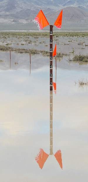
The Nevada Department of Transportation measures water depth at one of the U.S. 95 culverts.
The National Weather Service in Reno has issued a flood advisory for western Churchill County, but a meteorologist said the expiration date could be indefinite because of conditions in the Sierra Nevada and along the Carson River.
Mark Faucette said Wednesday the drawdown of the Lahontan Reservoir to provide more storage for snowmelt flows this spring is causing the Carson River to flow higher than normal. The Truckee-Carson Irrigation District began the drawdown in February and recently ramped up the flow of the Carson River to 2,600 cubic feet per second from below the Lahontan Dam to Diversion Dam. Water is then diverted to the V-line canal which feeds into the other canals in the system.
“We expect the advisory to go on for an indefinite period of time, perhaps into August or September,” Faucette said.
According to the latest NWS advisory, TCID and the Churchill County Emergency Management team are reporting minor flooding conditions in several isolated locations. Faucette said changes in the river’s flow could lead to flooding in other areas along the river.
The thought of additional flooding has Incident Commander Bill Lawry concerned, especially with people who live near the river.
“People should be protecting their property,” Lawry said. “Residents should be looking at placing sandbags now because during crunch time (with flooding), we won’t be able to help them.”
Faucette also said the river is at flood stage at the Tarzyn Bridge northeast of Fallon, flowing at 980 cfs.
Lawry said the weather service’s prediction of more water flowing in the Carson River and V-line canal weighed on their decision. Water from the V-line’s emergency spillway and weir is flowing in the western part of the valley, under four sets of culverts under U.S. Highway 95 about 12 miles south of Fallon and east toward Carson Lake. Lawry said county crews are also digging out a deep channel that extends from south of the Greenhead Hunting Club off Pasture Road east to the Stillwater National Wildlife Refuge.
We have a million yards of dirt to move,” said Ernie Schank, director of the TCID Board of Directors. He said crews began digging a 60-foot wide, 15-foot deep channel known as the “Big Dig” 24 hours a day on Monday. TCID said the timetable for reaching the refuge is the first week of May.
Schank also said “the farmer brigade” is important because they are moving the overburden so the excavators can work more effectively and efficiency.
Overburden is extra dirt and material deposited above the final grade.
“Scrapers are moving large portions before the excavators arrive,” he said.
Because of the current and predicted river flows, the emergency team, along with the Nevada Department of Transportation, dug a 30-foot wide channel adjacent to the Bafford Lane bridge on the west side to allow more water to flow toward the Carson Sink.
“We’re having trouble with silt buildup,” Lawry said, adding NDOT approved the emergency team’s decision to dig a channel next to the bridge to release more water.
Meg Ragonese, NDOT’s public information officer, said her agency, Churchill County and TCID cut sections of the road and riverbed embankment at the Bafford Lane bridge on Wednesday to allow increased flow of the Carson River as part of coordinated local flood mitigation measures. She said enhancing Carson River water flow at the bridge will help channel floodwaters to natural water basins and reduce potential flooding of residential properties in Fallon.
Ragonese said Bafford Lane is a state-maintained road between U.S. 95 and the Carson River (basically, the west side of the river). East of the Carson River, Bafford is a county-maintained road. Additionally, she said the Bafford bridge over the Carson River is an NDOT-owned bridge.
“Access to Bafford Lane on either side of the river will remain available to local traffic via U.S. 95 or Indian Lakes Road,” she said “The Bafford Lane bridge will be closed for an indefinite amount of time.”
In March and April, NDOT installed additional drainage culverts underneath U.S. 95 and U.S. 50 to help channel floodwaters underneath the highways. Ragonese said improvements will also help reinforce the two federal highways against potential flooding in future years.
“NDOT will also closely monitor specific state roads and bridges in the area for any potential impacts of heavier water flows,” she added.

Comments
Use the comment form below to begin a discussion about this content.
Sign in to comment