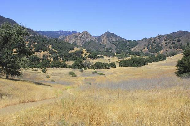
FILE - This July 1, 2018 file photo shows the the Grasslands trail at Malibu Creek State Park near Calabasas, Calif., following a relatively dry winter and several years of drought. In 2019 California is experiencing a series of winter storms that have drenched the state and covered its mountains with snow. (AP Photo/John Antczak, File)
Saturday could bring a foot of snow to Lake Tahoe, with larger snow totals possible at higher elevations.
In the valleys, Carson City will see a mix of rain and snow, according to the National Weather Service in Reno.
The Saturday morning mix will turn to rain starting Saturday afternoon. Projected near freezing temperatures could cause travel issues in the lower elevations.
“Saturday night into Sunday precipitation intensities become lighter, with snow showers i the Sierra and mainly rain showers for valley area,” NWS said.
Total snow accumulation of 6-12 inches is expected at lake level. Elevations above 7,000 feet could see 12-20 inches of snow. Peak snowfall rates are expected Saturday morning.
Strong winds are also in the forecast. Gusts over the Sierra ridge could be as strong as 75 mph, according to the weather service.
“Significant travel impacts are possible with delays and chain controls likely.”
On Thursday, the California Department of Water Resources reported that the Sierra snowpack is now 153 percent of average to date.
A manual measurement at Phillips Station off U.S. 50 near Sierra-at-Tahoe found a snow depth of 113 inches and a snow water equivalent of 43.5 inches, more than double what was recorded there in January.
Phillips Station is where then-Gov. Jerry Brown attended a snowpack survey in April 2015 that found a field barren of any measureable snow. Brown later ordered Californians to use less water. On Thursday, the department was unable to livestream the measurement because stormy weather cut the cell connection.
“This winter’s snowpack gets better each month, and it looks like California storms aren’t done giving yet,” Karla Nemeth, the department director, said in a statement. “This is shaping up to be an excellent water year.”
Where it hasn’t snowed, there has been rain, and a lot of it.
Nearly 21 inches of rain fell in 48 hours this week near the Northern California wine country city of Guerneville, where the Russian River was slowly receding Thursday after extensive flooding.
Downtown Los Angeles has recorded nearly 15.8 inches of rain this season, nearly 5 inches above normal to date. A year ago the total was less than 2 inches. San Francisco has a similar total, nearly double last year’s.
Southern California’s seasonal rivers have repeatedly roared to life, their normally dry beds filled with churning water.
The water resources department said the state’s six largest reservoirs are holding between 84 percent and 137 percent of their historical averages to date.
The U.S. Drought Monitor reported Thursday that more than 87 percent of California was now free of any level of drought or unusual dryness. Just 2.3 percent — along the Oregon border — was in moderate drought, and the remainder was in a condition called abnormally dry.
Three months ago, nearly 84 percent of the state was in moderate, severe or extreme drought, and the rest was abnormally dry.
In October, NOAA said forecasters expected a weak El Nino, the weather-influencing warming of the Pacific Ocean, to be in place by late fall or early winter.
NOAA, however, didn’t confirm the arrival of the El Nino until Feb. 14.
An agency assessment last week said heavy rain over the previous 30 days was due to a series of atmospheric rivers fueled by a combination of El Nino conditions and a lesser-known atmospheric phenomena called the Madden-Julian Oscillation.
A NOAA fact sheet describes it as a “tropical disturbance that propagates eastward around the global tropics with a cycle on the order of 30-60 days.” One of its most significant U.S. impacts during winter is an increase in the frequency and intensity of heavy precipitation along the West Coast.

Comments
Use the comment form below to begin a discussion about this content.
Sign in to comment