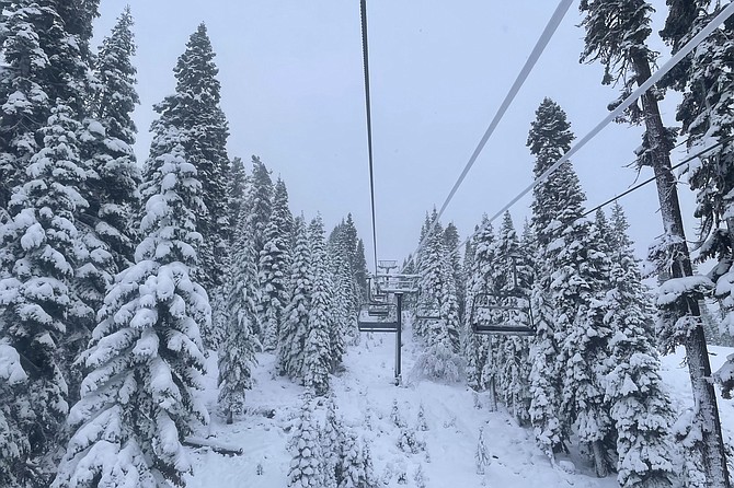
In this photo provided by the Northstar Ski Resort, fresh snow surrounds a ski lift in Truckee, Calif., on Dec. 13, 2021. (Shannon Buhler/Northstar Ski Resort via AP)
UPDATE, 7:49 a.m. Monday
The National Weather Service has increased predicted snowfall for the winter storm arriving Monday.
In a statement dated 6:03 a.m. Monday, the NWS said predicted snow accumulations of 2 to 6 inches below 5,000 feet, 5 to 10 inches between 5,000 and 5,500 feet, and 10 to 20 inches above 5,500 feet including the Virginia City Highlands. Locally heavier totals possible east of Lake Tahoe across I-580 and U.S. 395 from south of the Mt. Rose Highway junction to Carson City.
Travel could become very difficult, with a sharp drop in snow levels and visibility most likely between 8 and 11 p.m. Monday.
INITIAL STORY
The National Weather Service has issued a winter storm warning from 5 p.m. Monday through 10 a.m. Tuesday for the greater Carson City-Minden-Reno area.
“Heavy snow expected,” said a statement posted Sunday afternoon at weather.gov. “Total snow accumulations of 2 to 4 inches below 5,000 feet, 4 to 8 inches between 5,000 and 5,500 feet, and 8 to 18 inches above 5,500 feet including the Virginia Highlands.”
The NWS added the Monday evening commute likely will be affected above 5,000 feet and the Tuesday morning commute in all areas. Winds should continue to be gusty through Monday afternoon and restrictions for high-profile vehicles are possible.
“If you must travel Monday evening through Tuesday morning, be prepared for long delays especially during commute times,” the NWS said.
The latest road conditions in Nevada can be obtained by calling 511 or go to nvroads.com.
For California, call 800-427-7623 or click here.
CARSON CITY FORECAST
Sunday night: Rain, mainly after 10 p.m. Snow level 6,500 feet. Low around 36. Breezy, with a south wind 15 to 25 mph, with gusts as high as 40 mph. Chance of precipitation is 80%.
Monday: Rain. Snow level 5,900 feet. High near 47. Breezy, with a south wind around 20 mph, with gusts as high as 35 mph. Chance of precipitation is 90%. New precipitation amounts between a quarter and half of an inch possible.
Monday night: Rain before 10 p.m., then rain and snow between 10 p.m. and 1 a.m., then snow after 1 a.m. Snow level 5,600 feet lowering to 4,600 feet after midnight . Low around 29. Southwest wind 5 to 10 mph, with gusts as high as 20 mph. Chance of precipitation is 100%. New snow accumulation of 2 to 4 inches possible.
Tuesday: Snow before 10 a.m., then snow showers likely, mainly between 10 a.m. and 4 p.m. High near 36. Calm wind becoming west around 5 mph in the morning. Chance of precipitation is 80%. New snow accumulation of 1 to 3 inches possible.
Tuesday night: A 20 percent chance of snow showers before 10 p.m. Mostly cloudy, with a low around 11. Southwest wind around 5 mph.
Wednesday: Snow likely, mainly after 4 p.m. Partly sunny, with a high near 36. Chance of precipitation is 60%. New snow accumulation of less than a half inch possible.
Wednesday night: Snow. Mostly cloudy, with a low around 24.

Comments
Use the comment form below to begin a discussion about this content.
Sign in to comment