Carson City should see a white Christmas, according to the National Weather Service, and the days leading to Christmas will be wet.
If you’re planning on driving into the Sierra this week, your window of clear weather is closing rapidly as “winter weather will result in major travel disruptions mid week through the holiday weekend,” the NWS said in a special weather statement posted at 3:04 p.m. Monday at weather.gov.
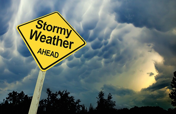
“A series of Pacific winter storms will bring periods of stormy weather to much of California and Nevada this week,” the statement said. “There will be few meaningful breaks in the weather for the Sierra once the storms begin late Tuesday so plan ahead.”
In Carson City and western Nevada, rain showers will dominate the forecast Wednesday and Thursday morning, with a forecast change to snow starting later Thursday.
“Snow levels are forecast to drop to all valley floors between Thursday afternoon and Friday morning,” the NWS statement said. “Yes, there may be accumulating snow even down in Reno-Carson later on Thursday but the weekend offers the best chance for accumulations in the lower valleys.
“Consider alternate routes or adjusting plans if you are traveling for the holidays. This is especially true if you`re heading into or out of any Sierra locations where chain controls, long delays, and potential road closures may occur.”
Road conditions are available at 511 for Nevada and 800-427-7623 for California.
CARSON CITY FORECAST
Tuesday: Mostly sunny, with a high near 44. Southwest wind around 5 mph becoming calm.
Tuesday night: A slight chance of rain and snow between 10 p.m. and 1 a.m., then a chance of rain. Patchy fog after 4 a.m. Snow level 4,700 feet rising to 6,100 feet after midnight. Otherwise, increasing clouds, with a low around 28. South wind 5 to 10 mph. Chance of precipitation is 30%. Little or no snow accumulation expected.
Wednesday: Rain likely, mainly after 7 a.m. Patchy fog before 10 a.m. Snow level 7,200 feet. Otherwise, mostly cloudy, with a high near 47. South wind 5 to 10 mph. Chance of precipitation is 60%.
Wednesday night: Rain. Snow level 6,000 feet rising to 6,500 feet after midnight. Low around 36. Southwest wind 5 to 10 mph. Chance of precipitation is 80%. New precipitation amounts between a quarter and half of an inch possible.
Thursday: Rain, mainly before 4 p.m. Snow level 5,900 feet lowering to 5,400 feet in the afternoon . High near 44. Southwest wind around 15 mph, with gusts as high as 25 mph. Chance of precipitation is 90%. New precipitation amounts between a quarter and half of an inch possible.
Thursday night: A chance of rain and snow before 7 p.m., then a chance of snow. Mostly cloudy, with a low around 25. Southwest wind 10 to 15 mph. Chance of precipitation is 50%. New snow accumulation of less than one inch possible.
Friday: A 30 percent chance of snow. Partly sunny, with a high near 41. New snow accumulation of less than a half inch possible.
Friday night: A chance of snow. Mostly cloudy, with a low around 23.
Saturday: Snow likely. Mostly cloudy, with a high near 39.
Saturday night: Snow likely, mainly before 10 p.m. Mostly cloudy, with a low around 22.
Sunday: A chance of snow. Partly sunny, with a high near 37. Breezy.
Sunday night: A chance of snow. Mostly cloudy, with a low around 21.
Monday: A chance of snow. Partly sunny, with a high near 37.

Comments
Use the comment form below to begin a discussion about this content.
Sign in to comment