AdobeStock
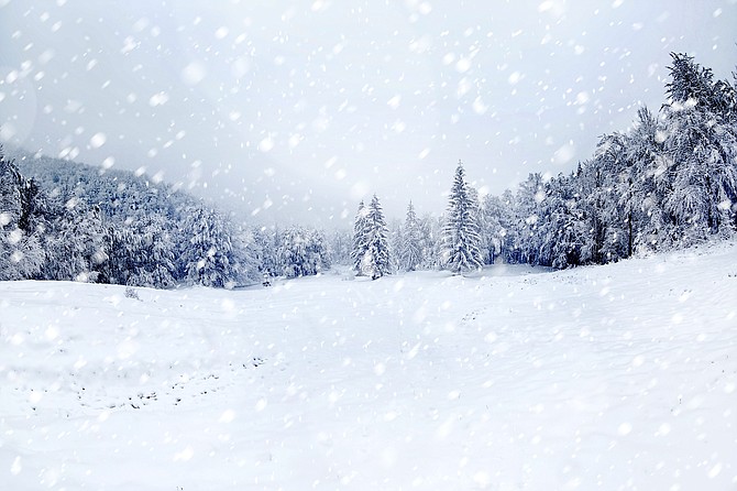
Carson City is forecast to receive 6 to 14 inches of snow by the end of the weekend, the National Weather Service said.
A winter storm warning takes effect at 10 p.m. Thursday and continues through 10 p.m. Saturday. A high wind warning remains in place until 10 p.m. Thursday.
“Light snow may bring slick roads for the Friday morning commute,” the NWS said in the forecast posted at weather.gov. “The heaviest snow is expected Friday night into Saturday morning. During the lighter snow period on Friday, another round of strong winds with gusts as high as 70 mph is expected.
“Heavy snow likely. Snow accumulations 6 to 14 inches for valley floors, and 1 to 2 feet for Virginia City, the Virginia Highlands, and foothills above 5,000 feet. Winds gusting as high as 75 mph.”
The combination of high winds and heavy snow could down power lines. “Widespread power outages are expected,” NWS said, adding travel could be “very difficult to impossible” late Friday into Saturday.
“I strongly urge Nevadans to prepare for the significant winter storm approaching Northern Nevada,” Gov. Joe Lombardo said in a statement issued Wednesday. “This storm is expected to bring dangerous temperatures and conditions to our state, and it’s critical that Nevada families are prepared.”
It is suggested drivers keep an extra flashlight, food, and water in vehicles in case of an emergency during the storm.
Nevada road conditions are available by calling 511 or go to nvroads.com.
California road conditions are available at 800-427-7623 or go to quickmap.dot.ca.gov.
Additionally, Lombardo’s office offered the following links:
• Avalanche Info Sheet: https://www.ready.gov/sites/default/files/2021-01/ready_avalanche_info-sheet.pdf
• Emergency Supply Checklist: https://dem.nv.gov/uploadedFiles/demnvgov/content/Resources/FINAL%20Emergency%20Supply%20Kit.pdf
• Emergency Alert Notifications: https://dem.nv.gov/preparedness/Emergency_Alerts/
CARSON CITY FORECAST
THURSDAY: Rain, mainly after 10 a.m. Snow level 6,300 feet. High near 52. Windy, with a southwest wind 15 to 20 mph increasing to 25 to 30 mph in the afternoon. Winds could gust as high as 55 mph. Chance of precipitation is 80%.
THURSDAY NIGHT: Rain before 10 p.m., then snow likely. Low around 32. Breezy, with a southwest wind 20 to 25 mph, with gusts as high as 45 mph. Chance of precipitation is 80%. New snow accumulation of less than a half inch possible.
FRIDAY: Snow. High near 43. Breezy, with a southwest wind 20 to 25 mph, with gusts as high as 40 mph. Chance of precipitation is 80%. New snow accumulation of less than one inch possible.
FRIDAY NIGHT: Snow. The snow could be heavy at times. Patchy blowing snow after 11 p.m. Low around 29. Breezy, with a southwest wind 20 to 25 mph, with gusts as high as 40 mph. Chance of precipitation is 90%. New snow accumulation of 3 to 5 inches possible.
SATURDAY: Snow. The snow could be heavy at times. Areas of blowing snow before noon. High near 37. Breezy, with a southwest wind 20 to 25 mph, with gusts as high as 40 mph. Chance of precipitation is 90%. New snow accumulation of 3 to 7 inches possible.
SATURDAY NIGHT: Snow, mainly before 10 p.m. Low around 21. Breezy, with a west wind 15 to 20 mph, with gusts as high as 30 mph. Chance of precipitation is 80%. New snow accumulation of 2 to 4 inches possible.
SUNDAY: A 40 percent chance of snow. Partly sunny, with a high near 37. New snow accumulation of around an inch possible.
SUNDAY NIGHT: A chance of snow, mainly before 10 p.m. Mostly cloudy, with a low around 21.
MONDAY: Partly sunny, with a high near 42.
MONDAY NIGHT: A slight chance of snow. Mostly cloudy, with a low around 23.
TUESDAY: A slight chance of snow. Partly sunny, with a high near 44.
TUESDAY NIGHT: A slight chance of snow. Mostly cloudy, with a low around 23.
WEDNESDAY: A chance of snow. Partly sunny, with a high near 44.

Comments
Use the comment form below to begin a discussion about this content.
Sign in to comment