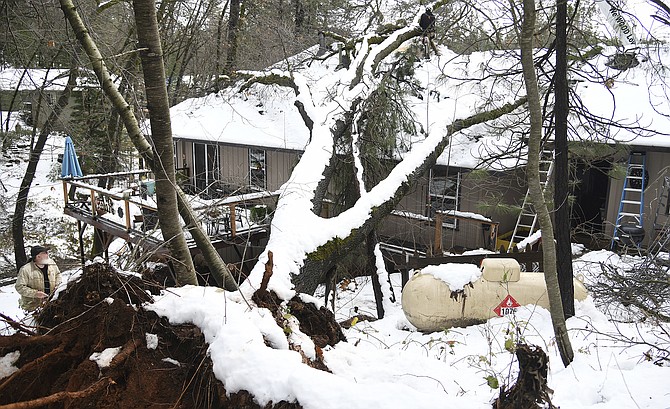
Rod McLeod (lower left) watches as a tree crew from Big T's Trees out of Yuba City works to remove a large oak tree on Dec. 30, 2021, that fell on his home Dec. 27, in Grass Valley, Calif. (Elias Funez/The Union via AP)
The National Weather Service has issued a high wind warning for the greater Carson City-Minden-Reno area from noon Monday until 7 a.m. Tuesday.
The wind heralds a storm system that could drop “modest” amounts of snow in the Sierra and deliver light rain and snow showers to valleys, but the NWS says the winds are the biggest concern.
“Winds increase (Monday) morning for northeast California, the Tahoe Basin and western Nevada,” the NWS said in a statement posted at weather.gov. “There is potential for gusts to exceed 80 mph for wind prone locations along the U.S. Highway 395 and Interstate 580 corridor between Susanville and northern Mono County, in addition to the Surprise Valley, and far northern Washoe County near the Oregon border. Elsewhere, gusts of 30-50 mph are anticipated for valley locations, with Sierra ridge gusts exceeding 100 mph.
“Some tree falls and power outages are possible along with travel restrictions for high profile vehicles, and very rough air for aviators. Backcountry recreation, ski areas and lakes will be impacted by the winds, blowing snow, and very choppy lake conditions.
“This system is modest in terms of snowfall; however, travel difficulties with snow-covered roads and localized areas of blowing snow are still expected late (Monday) into Tuesday in the Sierra from Tahoe north, and for the passes of northeast California.”
CARSON CITY FORECAST
Monday: Partly sunny, with a high near 42. Breezy, with a south wind 15 to 20 mph increasing to 20 to 25 mph in the afternoon. Winds could gust as high as 45 mph.
Monday night: A slight chance of rain and snow between 10 p.m. and 1 a.m., then a slight chance of rain. Snow level 5,000 feet rising to 5,700 feet after midnight. Mostly cloudy, with a low around 34. Very windy, with a southwest wind 30 to 40 mph, with gusts as high as 60 mph. Chance of precipitation is 20%.
Tuesday: A 20 percent chance of rain before 10 a.m. Snow level 5,700 feet. Partly sunny, with a high near 45. Southwest wind around 15 mph, with gusts as high as 30 mph.
Tuesday night: Mostly cloudy, with a low around 33. Southwest wind around 10 mph.
Wednesday: Partly sunny, with a high near 49. West wind 5 to 10 mph.
Wednesday night: Mostly cloudy, with a low around 31. Southwest wind around 5 mph.
Thursday: Mostly sunny, with a high near 52.
Thursday Night: A chance of snow after 4 a.m. Snow level 6,400 feet lowering to 5,200 feet after midnight . Mostly cloudy, with a low around 33.
Friday: A chance of rain and snow before 7 a.m., then a chance of rain. Snow level 5,500 feet rising to 6,400 feet in the afternoon. Partly sunny, with a high near 50.
Friday night: A slight chance of rain before 10 p.m. Snow level 5,400 feet. Partly cloudy, with a low around 28.
Saturday: Mostly sunny, with a high near 44.
Saturday night: Partly cloudy, with a low around 24.
Sunday: Mostly sunny, with a high near 44.

Comments
Use the comment form below to begin a discussion about this content.
Sign in to comment